Issued: 4:00 AM – March 12, 2026 | Source: PAGASA Weather Update Today Bulletin
Weather Systems Affecting the Philippines
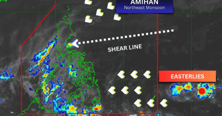
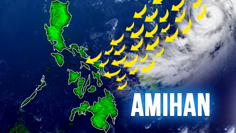
The Northeast Monsoon (Amihan) continues to affect Luzon and the Visayas, bringing cooler winds, cloudiness, and occasional light rains in several areas.
Meanwhile, the trough of Tropical Storm Nuri (2603) is affecting the eastern section of Mindanao, resulting in cloudy skies and scattered rains in parts of the region.
As of 3:00 AM today, Tropical Storm Nuri was located 1,415 kilometers east of Eastern Visayas (11.0°N, 138.7°E) with maximum sustained winds of 65 km/h and gusts up to 80 km/h.
The storm is moving east-northeastward at 10 km/h and remains outside the Philippine Area of Responsibility (PAR).
Weather Update Today Video
Prefer a quick video version? Watch the latest weather update below. For daily updates, you can subscribe to our channel.
Forecast by Area
Dinagat Islands and Surigao del Norte
- Cloudy skies with scattered rains and thunderstorms
- Caused by the trough of Tropical Storm Nuri
- Possible flash floods or landslides due to moderate to at times heavy rains
Batanes and Babuyan Islands
- Cloudy skies with rains
- Due to the Northeast Monsoon
- Possible flash floods or landslides
Rest of Cagayan Valley, Aurora, Apayao, and Kalinga
- Cloudy skies with light rains
- Caused by the Northeast Monsoon
- No significant impact expected
Rest of Mindanao, Eastern Samar, Leyte, and Southern Leyte
- Partly cloudy to cloudy skies with isolated rain showers or thunderstorms
- Caused by localized thunderstorms
- Possible flash floods or landslides during severe thunderstorms
Metro Manila and the Rest of the Country
- Partly cloudy to cloudy skies with isolated light rains
- Due to the Northeast Monsoon
- No significant impact expected
Wind & Coastal Water Conditions
Northern and Eastern Luzon
- Winds: Moderate to strong from the northeast
- Coastal waters: Moderate to rough (2.5 – 3.8 meters)
Eastern Visayas and Eastern Mindanao
- Winds: Moderate to strong from the northeast to north
- Coastal waters: Moderate to rough (2.5 – 3.1 meters)
Rest of Luzon
- Winds: Moderate to strong from the northeast
- Coastal waters: Moderate to rough (1.2 – 2.8 meters)
Rest of the Country
- Winds: Light to moderate from the northeast to north
- Coastal waters: Slight to moderate (0.6 – 2.1 meters)
📌 What This Means for Today
- For most areas of the Philippines, including Metro Manila, the day will be generally fair with partly cloudy skies and occasional light rains due to the Northeast Monsoon.
- Residents in Dinagat Islands and Surigao del Norte should stay alert for possible heavy rains that may cause localized flooding or landslides.
- Sea conditions remain rough along the eastern seaboards of Luzon, Visayas, and Mindanao, so small sea vessels are advised to exercise caution.
- Tropical Storm Nuri remains far outside the Philippine Area of Responsibility and is not expected to directly affect the country at this time.
Stay updated for further advisories, especially in flood-prone and landslide-prone areas.
For the latest updates, continue visiting our Weather Update Today page.
Paalala sa Publiko
Patuloy na mino-monitor ang lagay ng panahon at maaaring magbago ang kondisyon anumang oras. Manatiling alerto at sundin ang mga abiso ng lokal na pamahalaan kung kinakailangan.
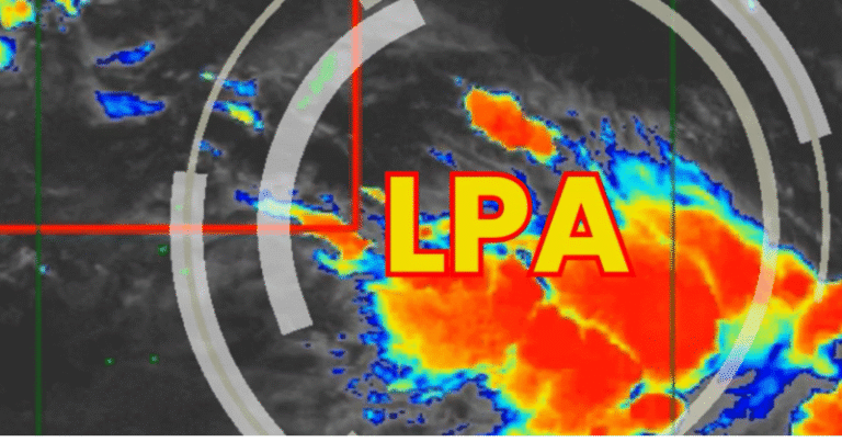
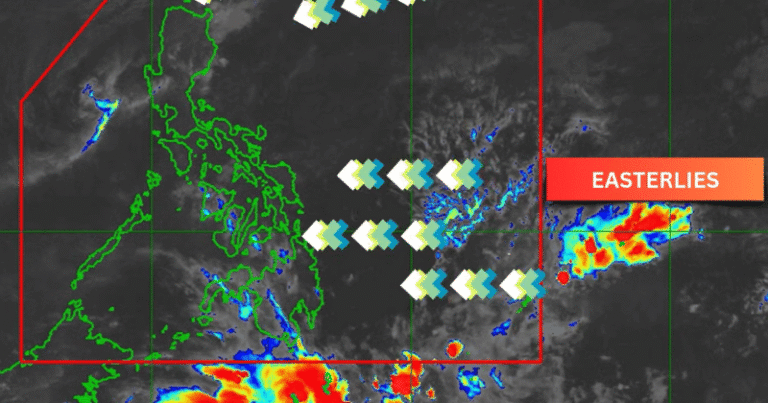
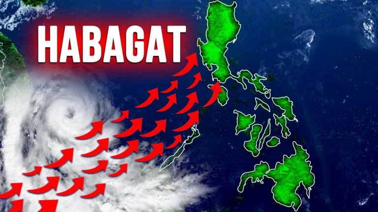
Satellite imagery below provides a visual reference of current cloud formations over the Philippines.

📌 This weather update is based on the latest available information and may change as conditions develop.